Ama
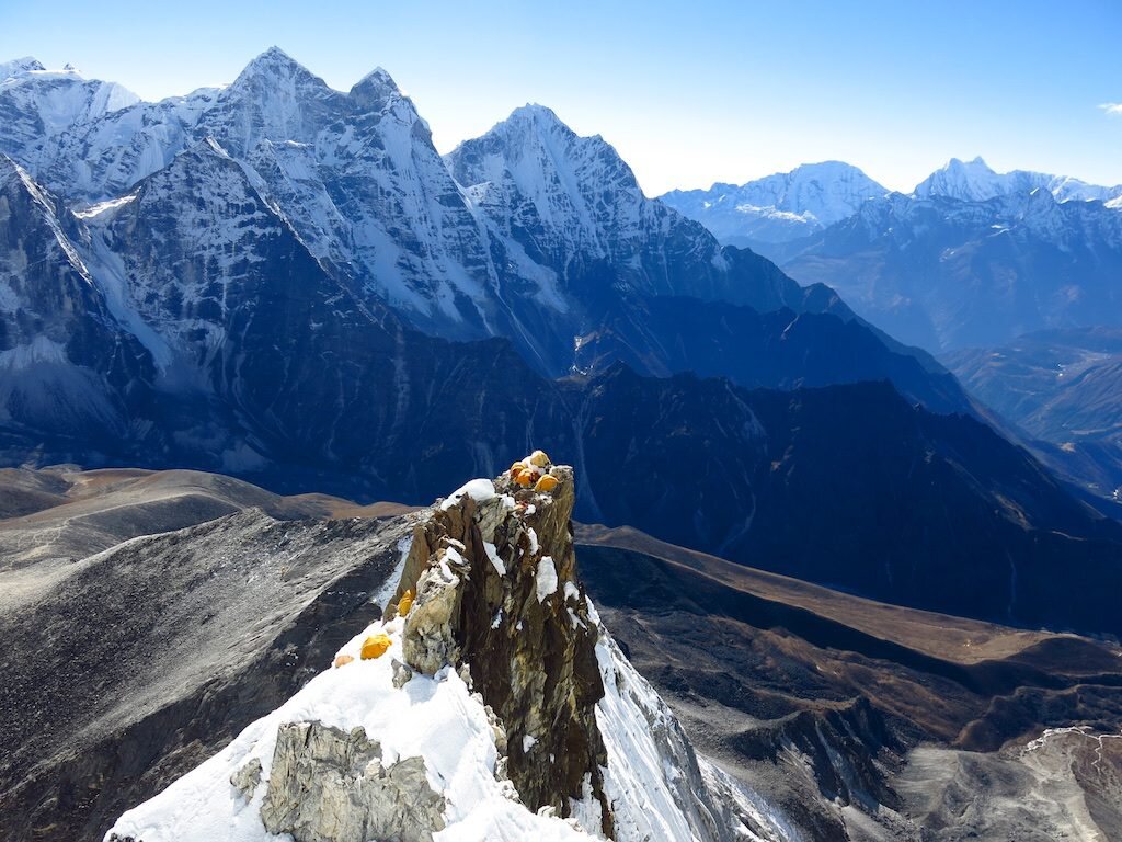
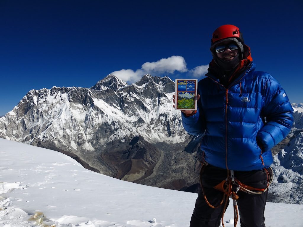
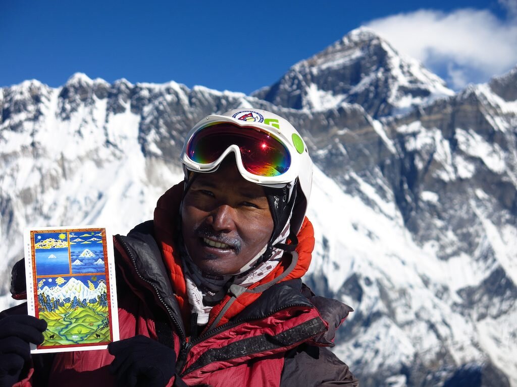
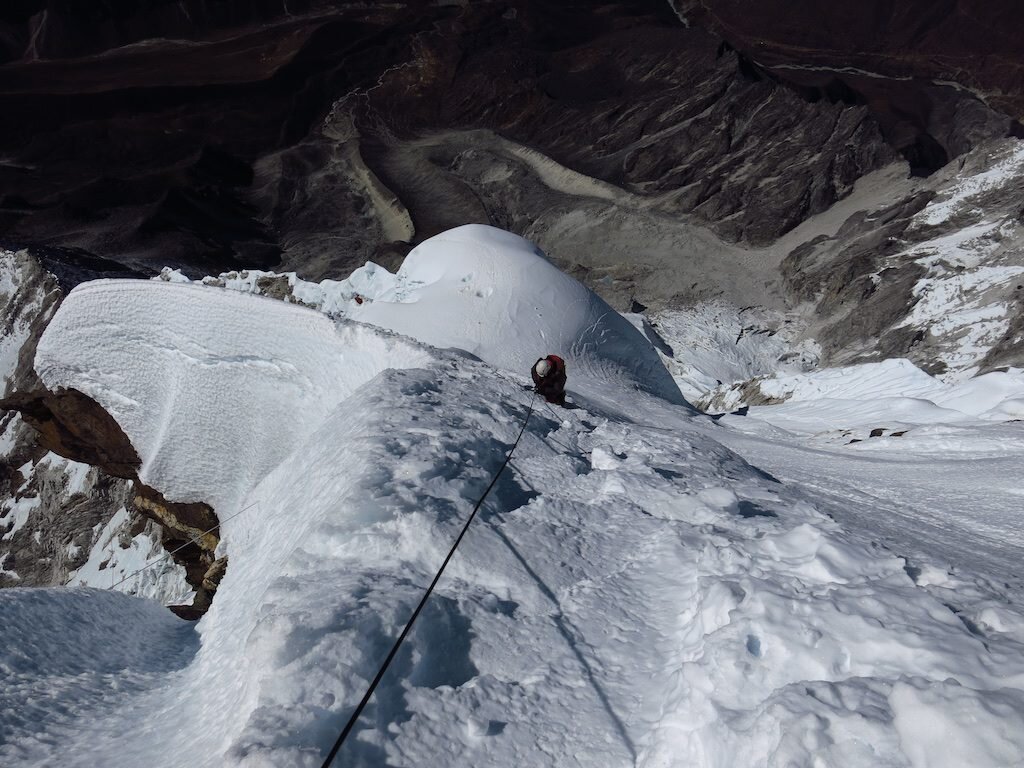
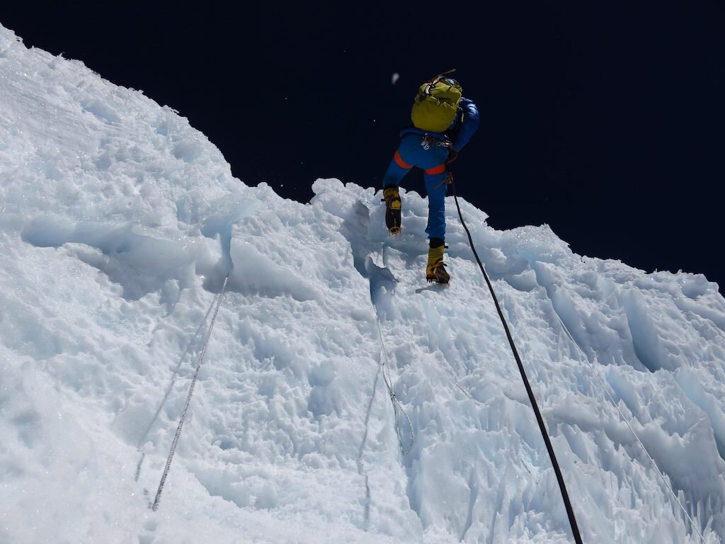
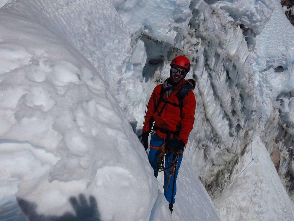
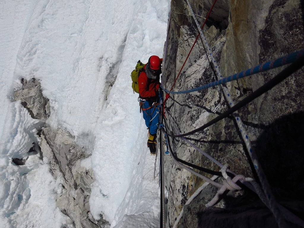
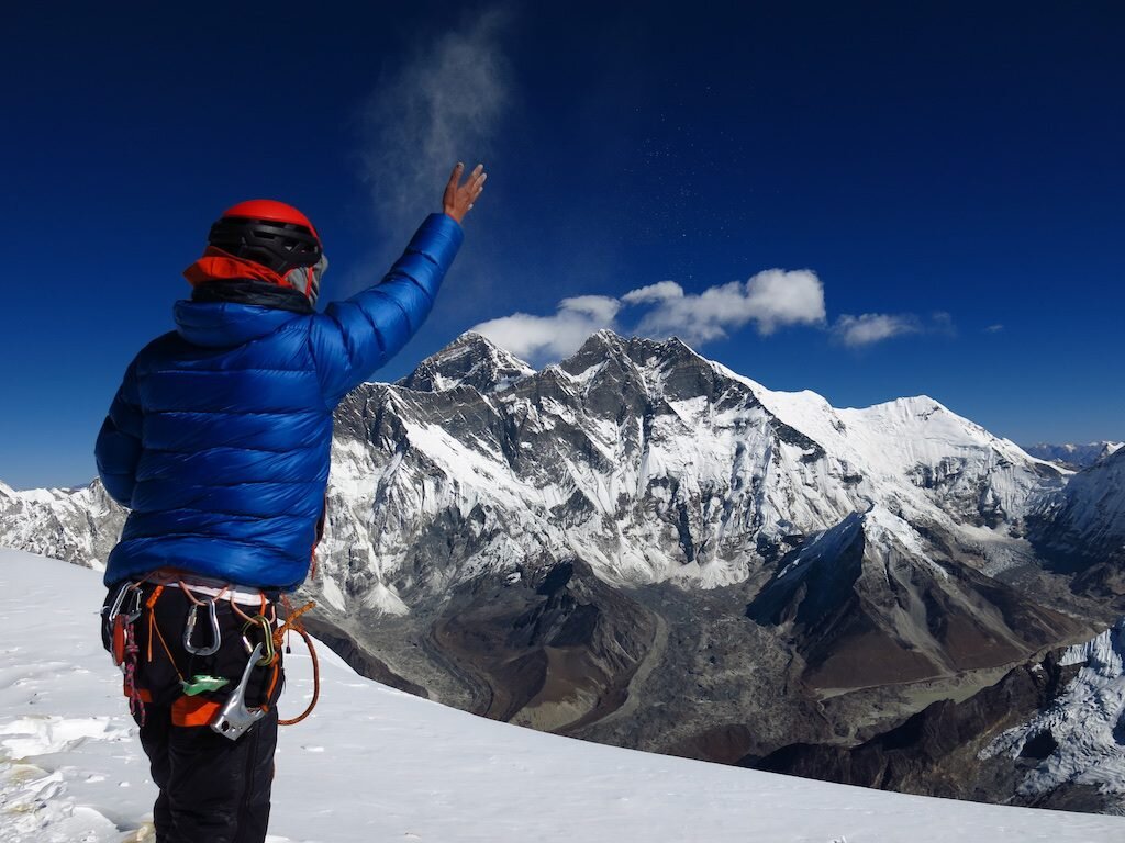
 Climbers and trekkers have long considered Ama Dablam to be among the world's most beautiful mountains. You could disagree, but alas, you'd be wrong. It says a lot about a mountain that in a range filled with giants, a shorter, slender fin of rock and ice has captured the imagination of those who walk beneath it for centuries. Ama is the mother. The dablam, represented by the hanging serac below the summit, is her amulet. Ironically, for climbers, it has been a source of fear. A collapse in 2006 that killed six is a harsh reminder of the realities of climbing big mountains. It's also why Furtemba and I made the decision to leverage our acclimatization and summit in a long push from camp 2. And needless to say, on a mountain this steep and technical, I wore the amulet Lama Geshe had blessed for me from start to finish.
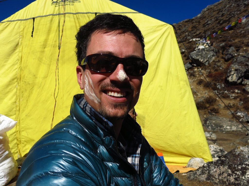
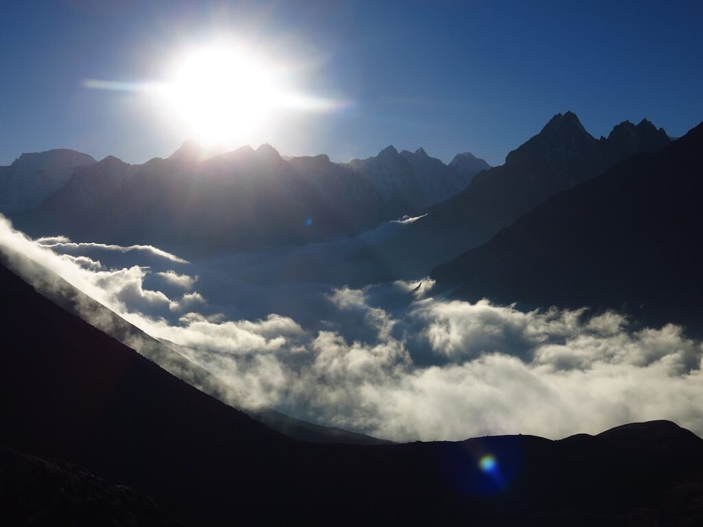
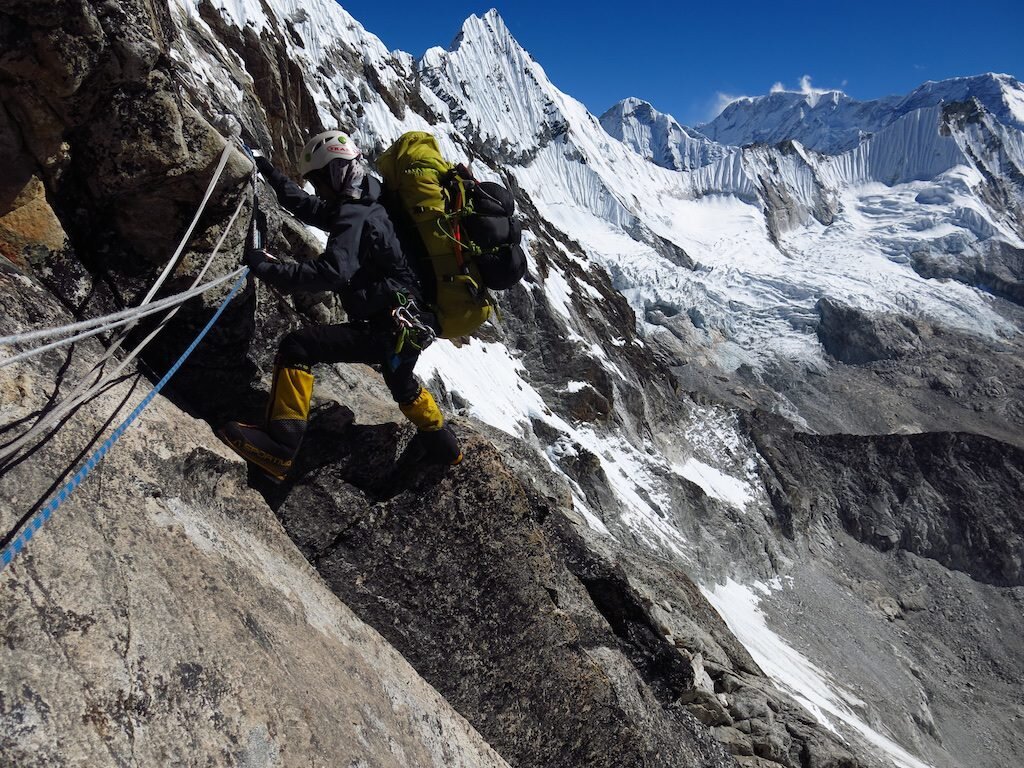
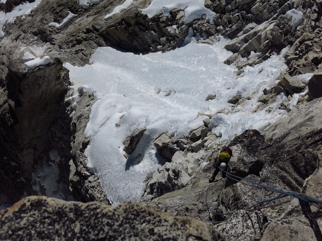
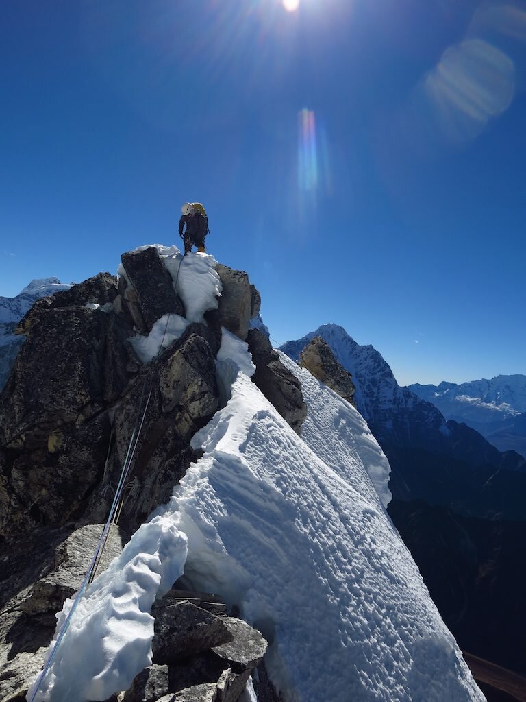
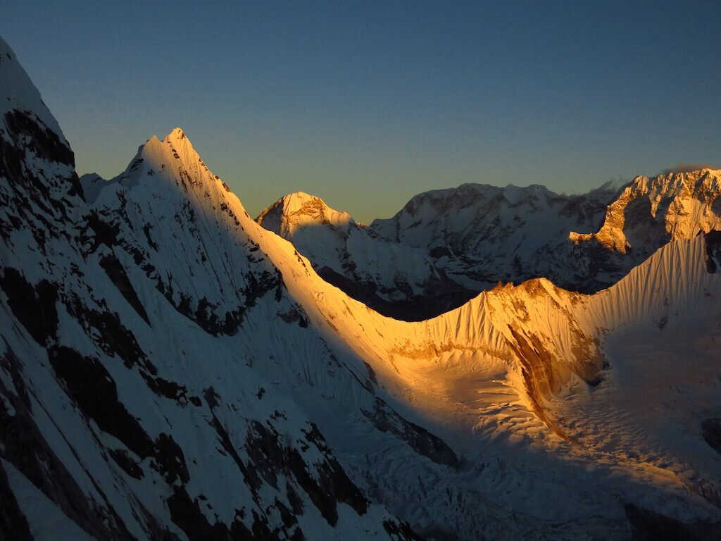 We'd delayed our summit bid due to high winds one day. Then the weather was looking like it could take a cold snap. At camp 1, Furtemba and I agreed to continue upwards even though our potential summit day was forecasted to be significantly colder.
Tashi Laptsa
I'm back in Kathmandu after a successful ascent of Ama Dablam. More on that later. Here's the story of the four day journey from Rolwaling up and over Tashi Laptsa, one of the most challenging passes in the Himalaya, and down into the Khumbu. You know you're in the Himalayas when the passes are 19,000 ft!


 Tsho Rolpa, a terminal lake, is one of many in the Himalayas prone to glacial outburst floods. One here in 1986 was very serious to my understanding, and increased glacial melting due to climate change is expected to make such flood events more frequent and severe in the future.
 Babu Ram walks into Chukima camp, with Nachugo behind.
 Pika!
Pika!

 Dust at the head of the Rolwaling valley is from a massive and active landslide
 Furtemba crosses active landslide on the way to our high camp below Tashi Laptsa. We kinda ran:


 One of the finest places I've spent a night:
 Purna and Babu Ram ascend ever steepening glacial ice with outrageous loads:
 Furte borrowed my axe to chop steps for the porters
 We donned crampons for the final few hundred meters up Tashi Laptsa. I was glad to switch to mountain boots as my toes were violently cold.
 Descending Tashi Laptsa was tricky and arduous
 Tengkangboche:
 Descending some of the coolest glacial polish I've seen:
 Furte whipped up one of the best high altitude meals I've had. Super spicy potato curry with Tibetan fried bread:
 Babu Ram's basket was toast


 Coming into Thengbo was spectacular
 First view of Ama Dablam, our next objective
 Thame:

 The trails of the Khumbu are like highways!
 Namche Bazaar, the largest settlement in the Khumbu valley:
 Oh yeah, Mount Everest...
 Signs warn us of glacial lake outburst floods (GLOF). I think it would help if the sign explained what the hell GLOFs are.
 Everest (behind) and Lhotse (R), the world's highest and 4th highest mountains. I made it about a thousand feet higher than the prominent Yellow Band without oxygen on Lhotse in 2013.
 Pasang Tenzing, Furtemba and Leslie take a break on the way to Pangboche
 Furtemba, brought to you by Ray Ban, Black Diamond, Mammut and Sportiva:
 Everest and Lhotse catch the last rays of sun from Pangboche
 Another privileged opportunity to meet with and receive blessings from Lama Geshe, the highest ranking Lama in the region. Once again he laughed at my "Nepali name"
 Ama Dablam. Our route was the right hand skyline:

 Spinning the prayer wheels at Pangboche Monastery after our visit with Lama Geshe


 Pasang walks to base camp
 Ama Dablam base camp is so comfortable and beautiful. Nicest base camp ever!
 Not to mention the outrageous comforts (welcome mat!) in our camp. Ascent Himalayas for the win!
 Tawoche from base camp:
Resilience: A year and a half of recovery since the Great Earthquake
On April 25, 2015, Nepal was struck by a massive magnitude 7.8 earthquake. Some quick facts and figures : This event and subsequent aftershocks left over half a million households homeless, 1.4 million in need of immediate food assistance, and 5.6 million in need of immediate medical services. Nearly 9000 died and the economic cost was about $10 billion, roughly 50% of Nepal’s GDP.  Below, I survey the science behind this event, summarize the consequences, and take a more personal look at its ramifications in just one region, the Rolwaling Valley.Accumulation and Release Most who’ve been exposed to earth science concepts can tell you that the Himalayas are the product of a tectonic collision between the Indian Subcontinent and Asia. Far fewer, however, can describe how this process manifests. Earthquakes are the product of accumulated strain, or the deformation of rocks, which is then released suddenly. So in the case of the India-Asia collision, huge blocks of rock are deformed, storing elastic energy, which is then released suddenly through slip along a fault plane. The April 25 earthquake represented the release of a tremendous amount of energy along one of these main faults making up the structure of the Himalaya. It’s important to note that earthquakes aren’t like a bomb going off at a single point source, they occur along a plane which slips over a period of time. The point where the slip begins is called the focus…the point on the earth’s surface directly above the focus is called the epicenter.
 These concepts aren’t just important to scientists. Rather, they have real, life or death consequences for humans inhabiting earthquake prone areas. Let’s explore a few of the factors that shaped this event:
- Depth. Earthquakes always happen at depth. The shallower they are, the more you feel shaking on the surface. Makes sense right? This event had a focus of just 8 km, extremely shallow for an event of its size. Many earthquakes off the coast of Japan, for example, are 80 – 100 km or even deeper. The recent Haiti quake was 10 km.
- Direction of slip. Slip starts at a point, in this case in the Gorkha region about 77 km west of Kathmandu. But the slip propagated to the east. Thus, the regions most heavily hit were just to the east such as Sindhupalchok and Dolakha where over 95% of structures were destroyed.
- Rock type. It sounds counterintuitive, but the stronger the rock you’re on, the less the shaking. Unfortunately, in a country as mountainous as Nepal, the Kathmandu valley provides one of the few flat areas to build a large city. And flat areas surrounded by mountains are usually sedimentary basins, made of soft rock. Kathmandu itself is an ancient lake, so the shaking was amplified in this region…particularly heavily hit were historic buildings such as the Durbar Squares in Kathmandu, Patan and Baktipur…UNESCO World Heritage Sites.
- Date and time. Hey, it’s not all geology. The earthquake happened at noon on a Saturday. In other words, absolutely ideal timing for minimizing human suffering. In a country with many stacked rock or brick structures that are prone to collapse, the fact that people were out and about instead of sleeping, at work or in school was a huge factor. A night or weekday could have made this event ten times more devastating.
 Long road to recovery in Rolwaling The Rolwaling Valley lies at the eastern end of Dolakha, just west of Solukhumbu, home to Mount Everest. People here are seminomadic (not sure if that’s a real term). A couple hundred inhabitants move up and down the valley with the seasons to tend to their farms and to let their livestock graze. In the photo essay below, I’ll show you a bit of my trip from Kathmandu to the end of the road and then the trek through Rolwaling. Heaviest hit was Simi Gaun, Furtemba’s home village, where he estimates over 95% of buildings collapsed. Some residents are still living in temporary housing (think: camping). People here are resilient, after all, they’ve been farming at over 15,000 feet for centuries, but they still need help. Everyone here has a story. I’ve been taken aback by how I’ve seen the houses of friends here like Angdu, Dawa Gyaljen, Mingma Gyalje destroyed. And our cook, Rajendra, showed me a huge scar on the center of his forehead, a tangible reminder of the massive icefall that killed 21 in Everest Base Camp.The rebuilding effort is inspiring. People have come from all over the country to help build a new monastery in Beding. But it’s a tremendous effort: everything in this valley has to be carried by people for three days to reach Beding from the end of the road at a cost of 80 rupees (80 cents) per kilo. So these tremendously important community buildings like schools, health posts, and monasteries represent an enormous economic cost of about $200,000. Ultimately, this adds up to a long road to recovery for the people of Nepal.The American Himalayan Foundation continues to take donations for earthquake relief.


Alpine Exploration in the Ripimo Shar
 Sometime earlier this year, I started taking a much closer look at the Rolwaling and which side valleys remained least explored. In particular, the Ripimo and Ripimo Shar (East) glaciers seemed like a gigantic hole, with few prior expeditions exploring their upper reaches. Those who did, the likes of Chris Bonington and Bruce Normand, reported giant peaks, natural beauty and wildness.A week ago, I set off from Na with what felt like a huge amount of support: Furtemba as the guide and climbing partner, Rajendra as cook, and three porters: Babu Ram, Purna and Buskar. It became clear pretty early on, however, that given the ruggedness of the upper reaches of the valley, that the resources we had were definitely not excessive. Our first day, we established camp at Omi Tso, a gorgeous alpine lake at the base of Nachugo and Omi Tso Go, one of the peaks for which I had a permit. The next day, we carried gear up the moraine and around the corner to an elevation of ~17,200 ft, where unfortunately, we discovered an astonishing lack of water on the upper reaches of the glacier. This meant a heartbreaking and super tricky descent down some of the tippiest talus I’ve ever encountered. Now that I’ve covered this stretch six times, I’d be happy to put the upper Ripimo Shar up against anything in a “World’s Sketchiest Talus” competition. It’s not an understatement that in certain stretches up to half a mile long, roughly 80% of the rocks (all of which ranged in size from volleyball to sofa) would suddenly shift. Often this would trigger a chain reaction. Heinous!
 What started as easy moraine (above) turned to this...
 We ended up having to do two carries to establish our base camp at ~16,500 ft. The next day, Furtemba and I established a route to ~18,500 ft on our main objective, unclimbed 20,856 ft Langdung. The highlight of the lower route (after a tremendous amount of talus of course!) was a few hundred meters of 4th and low 5th class sparkly granite. We soloed the whole section but did establish two rappels to make descent with heavy packs easier.
 Classic butt shot. The rock was pretty good!
 Following a rest day, Furte and I returned to high camp on the summit push. We had a gorgeous bivy spot with spectacular views of the Ripimo Shar. Just after sunrise, we moved up on summit day, which involved a short glacier crossing, then ascent of a broad couloir and short traverse to the upper glacier. This was like entering a different world. A huge flat expanse extended to the Tibetan border, with the south face of Langdung, the highest objective around, towering over us on the right. We ascended this glacier to the base of the face, choosing a direct and fairly straightforward, if not monotonous, line up steep snow and alpine ice toward the summit. From the glacier, the face was ~600m (2000 ft). The face was in pretty good condition, allowing us to simul-solo nearly the entire route until it steepened to about 75 degrees for the last couple pitches. It was hard work, with little opportunity for rest or hydration. As we approached the last ridge, tantalizingly close to the true summit, things changed dramatically. Furtemba, usually steadily making upward progress, was now scraping his axes through horribly sketchy, unconsolidated snow in between bouts of profanity-laced outbursts. I took stock of my situation…one picket placed between us was the only thing keeping us on the mountain. After a lot of searching, Furte made an awkward move over a crevasse and onto the corniced ridge. I followed. It was there that we realized both how close and far we were from our objective. Probably 25 vertical meters and just 50-100 horizontal meters separated us from the snowcapped summit, yet the way was blocked by snow mushrooms on one side and overhanging, unconsolidated powder beneath the cornices on the other. Assuming this section were passable, we still had some mixed climbing of unknown difficulty to yet another cornice at the summit. It was just way too much risk for our liking. So I ascended the final couple meters of cornice and as I peeked my head over the edge I was met with thousands of meters of air down into Tibet. In the not-so-far distance, the world’s highest mountains stood before me: Cho Oyu, Everest, Lhotse and Makalu made up just a small part of the spectacular skyline.
 Everest, Lhotse and Makalu framed by peaks of the Ripimo Shar
 Langdung's true summit just 25 or so meters higherReturning to our measly picket, we backed it up with another, and Furte stood on them to add some additional psychological protection. I made the first of 8 or so rope-stretcher rappels off the face, mostly snow anchors but a few v-threads where we could find decent ice. The rest of the day was fairly uneventful…hard work into the frigid evening, but not the most tiring or epic descent I’ve made. A few hours later, after breaking down our high camp, we returned to the rocky Ripimo Shar. Soon, we spotted the headlamps of Purna and Buskar, who gave us some tea and juice and shouldered our heavy packs for the boulder-hop back to camp.


 Nachugo and Omi Tso Go from high on Langdung. Jagat, Charikot and Kathmandu are out in the distance on the right.
 Our last look at Langdung's south face
 ________________________________________________________________________________Some more photos to tell the story:


Tidbits from the Trail
All we do is laugh our way up the trail. This is a sawmill by the way. Everything here has been carried up the valley by local people. The waterfall situation in Rolwaling is ourtrageous. I think by the end of this post, you'll agree.
 We came up through the jungle from the valley floor. We've got close to 18,000 vertical feet to go!


 I think this is when Furtemba casually told me that people occasionally run into tigers here. Like actual tiger tigers.


 Furtemba's cousin's house is the close one. She cooked us the most amazing meal over a wood burning stove.


 There are like people-sized holes in most of these bridges.
 Remote, holy and unclimbed: the incomparable Gauri Shankar (Tseringma if you're a Sherpa)
 So, so wobbly!
 The view down the last three days of trekking
 Beding, the largest village in Rolwaling. People here move up and down the valley with the seasons.
 Tseringma...steep from this side too!

 The entrance to Na, the highest settlement in Rolwaling at just under 14,000 ft.

 Na
Na


 Yakyakyak
 Rajendra (orange jacket, our cook) and porters getting ready for a day of trekking
hmix is back
It’s been a long time since I’ve posted, but that doesn’t mean I haven’t been busy. The past year has been a wild ride, filled with ups and downs in professional, climbing and personal life. I got an NSF grant to study the biggest storms in the American West. I attended a workshop in the Dolomites and topped the trip off with some mixed and alpine climbing in Chamonix. I built a lab and have three wonderful research assistants. I fell in love. And in March, I moved home to Virginia and took care of my mom until her death last month.So now I write with mixed emotions from my tent at 15,500 ft or so in a remote, seldom-explored side glacier of the Rolwaling Valley, Nepal. Rolwaling is exquisite. The natural beauty and changing landscape along the way was remarkable.You can follow my daily check-ins by clicking on the “Where’s Hari?” tab at the top right of the page. We’ll explore this valley and try up to two climbs over the next ten or so days. After that, we’ll head back down to Na, the last village below and embark on the next stage of the trip.Over the next few days, I’ll release some photo essays from different portions of the trip. Below is a taste of what it took to get into the mountains…Shiva looks over Coca Cola

 Our axle (or something that sounded similarly awful!) broke on the way up. The guys were laughing while fixing it. Mingma, the government representative for Simi Gaun is beneath the broken part as the guys rock vigorously

 The long, winding road to Charikot
 You see the best paint jobs in Asia
 Hell yeah we drove through that waterfall!
 The way down to Jagat from Simi Gaon. The zigzagging road is for the construction of the first major hydro project in Nepal. After a 12 hour drive from Kathmandu, we started in the dark up 2000 ft of stairs through terraced fields of millet.
 Danu's gorgeous new lodge in Simi Gaon. More on the people of SImi Gaon later.
 Simi Gaun is Furtemba's home, so I think we had to have tea with just about everyone in the village!

